
The map said there was nowhere to sit in Kolkata, so I asked Gemma to look
This is a submission for the Hacktoberfest Open-Source AI Challenge: Touch Grass. What I Built My father has knee pain. He likes walking, but he stops going out when he can't be sure there is somewhere to sit before his knee gives up.
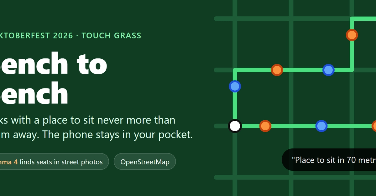
This article describes a personal project submitted to the Hacktoberfest Open-Source AI Challenge, where an AI-powered app called Bench to Bench helps people with mobility issues find accessible walking routes with nearby seating.
What happened
The author developed an app that uses AI to find accessible walking routes for people with knee pain. The system combines OpenStreetMap data with AI analysis of street photos to identify seating opportunities, creating safe routes where traditional maps fail.
Why it matters
This project demonstrates how AI can address accessibility challenges in urban environments, particularly in areas with incomplete mapping data. It highlights the potential for AI to enhance mobility solutions for people with physical limitations.
- AI can enhance accessibility solutions by analyzing visual data beyond traditional maps
- Local AI inference is feasible for resource-constrained applications
- Combining AI with rule-based systems improves reliability in critical applications
- Open-source collaboration is essential for addressing real-world accessibility challenges
- Model performance trade-offs require careful evaluation for specific use cases
The bigger picture
The project shows how AI can supplement traditional mapping data to improve accessibility. It demonstrates practical applications of computer vision in urban navigation and highlights the importance of combining AI with domain-specific rules for reliability.
The Bench to Bench project demonstrates a practical application of AI in improving urban accessibility, showing how computer vision can supplement mapping data to create safer walking routes for people with mobility needs.
Technical details
- Gemma 4 E4B/E2B models for image analysis
- OpenStreetMap data integration via Overpass API
- Mapillary street photo dataset
- Rule-based route planning with constraints (no steps, rough ground, etc.)
- Local AI inference using Ollama framework
- JSON format validation for AI outputs
FAQ
How does the app find seating areas in unmapped regions?
The app uses Gemma, an AI model, to analyze street photos from Mapillary and identify potential seating opportunities like benches, platforms, and low walls that aren't recorded in OpenStreetMap.
What role does AI play in the route planning?
AI analyzes street photos to detect seating areas, while rule-based code creates routes that maintain safe distances between seats. The AI's outputs are validated against strict formatting rules before being used in route planning.
Why was OpenStreetMap data insufficient for Kolkata?
OpenStreetMap lacked records of informal seating areas like tea-stall benches and shop platforms in Kolkata, which are common but not mapped. The AI system compensates for this data gap by analyzing visual street data.
How does the app handle AI model limitations?
The system uses strict validation rules to filter AI outputs, discards non-compliant results, and combines AI insights with traditional mapping data to ensure reliability in route planning.
What are the technical constraints of the solution?
The system relies on existing street photos (which may be limited in coverage), requires local AI inference for privacy, and depends on manual validation of AI outputs to maintain accuracy.
This summary and analysis were generated with AI from the original article and may contain errors. Read the original for the full story.
Read the full story
Originally published by Dev.to AI on Oct 12, 2026.
Comments
Sign in to join the discussion.